Allocation: $50,000,000
Description: The GeoFrame Program responds to existing land use, land administration, and spatial data constraints of the Government of Puerto Rico. Through the program, PRDOH will support Puerto Rico’s growth towards a Spatially Enabled Society (SES) by producing a foundation of high-quality, geo-referenced data and building an infrastructure of people, policies, software, hardware, and systems for citizens to access and use spatial data to enable evidence-based decision-making.
PUERTO RICO GEOSPATIAL FRAMEWORK (GEOFRAME) PROGRAM
The Government of Puerto Rico and the Puerto Rico Housing Department (PRDOH) are pleased to announce the Puerto Rico Geospatial Framework (GeoFrame) Program — a coordinated effort to build the first comprehensive Spatial Data Infrastructure (SDI) for the Island.
GUIDELINES
CHALLENGE


VISION

COORDINATING GOVERNMENT
RELIABLE INFORMATION
A sustainable society depends on coordinated, human-to-land information. And information is only useful when it is accurate, secure, and accessible to all stakeholders.
Inaccurate and inaccessible spatial information in Puerto Rico crippled emergency responders during Hurricanes Irma and María, and resulted in response teams wasting critical time trying to navigate unmapped roadways. Puerto Ricans were isolated by landslides and flooded waterways, and many homes without physical addresses, or homes that were informally constructed, unregistered, and unknown outside the immediate community, were unable to be reached. A comprehensive, secure, and interoperable spatial data infrastructure that provided accurate baseline information did not exist.
This illustrates the simple fact that all people build relationships to land and property, and therefore, all people benefit from accurate, centralized, spatial representation of land information.
SPATIALLY ENABLING PUERTO RICO
Planning effective, sustainable recovery solutions in Puerto Rico requires a fully informed government and citizenry who are able to visualize the relationships between people and their location, understand changes and trends, and make informed decisions that can safeguard life, land, and property. We call this fully informed state a Spatially Enabled Society (SES) – one whose citizens, governmental and nongovernmental entities make use of and benefit from the availability of geospatial information.
The goal of the Puerto Rico Geospatial Framework (GeoFrame) Program is to increase access and transparency of land use and geospatial data in Puerto Rico. The Program aims to support the ability of all stakeholders, including citizens, non-governmental entities, and governmental agencies, to understand the spatial component of land administration and the place-based nature of property and governance of land and water.
WHAT IS GEOSPATIAL INFORMATION?
Geospatial Information is data that references a place on Earth. We interact with this daily through mailing addresses and mapping applications. The United Nations has indicated that producing and coordinating more reliable geospatial information is essential for sustainable development, policy-making, programming and project operations.
GEOSPATIAL INFRASTRUCTURE

Geospatial information becomes outdated or unsuitable for governance systems if a framework of technology, policies, and institutional arrangements are not comprehensively coordinated. Standardizing information further facilitates the creation, exchange, and use of geospatial data and related information resources.
EVIDENCE-BASED DECISIONS

AN INFORMED FUTURE
The Puerto Rico Geospatial Framework (GeoFrame) Program, will support Puerto Rico’s growth towards a Spatially Enabled Society (SES) by producing a foundation of high-quality, geo-referenced data, and building a spatial data infrastructure of people, policies, software, hardware, and systems for citizens to access and use spatial data to enable evidence-based decision-making.
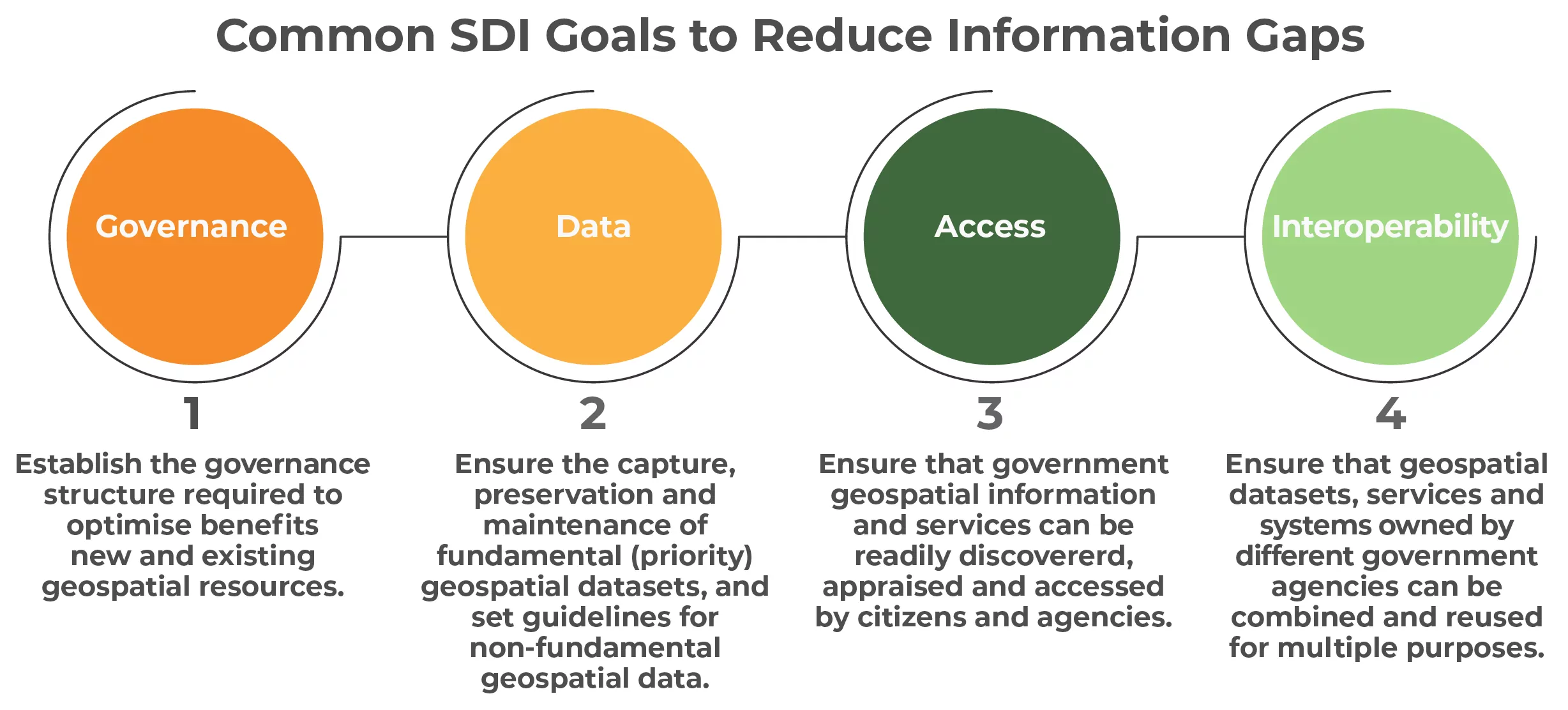
Common SDI Goals to Reduce Information Gaps
1. Governance: Establish the governance structure required to optimize benefits of new and existing geospatial resources.
2. Data: Ensure the capture, preservation, and maintenance of fundamental (priority) geospatial datasets and set guidelines for non-fundamental geospatial data.
3. Access: Ensure that government geospatial information and services can be readily discovered, appraised, and accessed by citizens agencies.
4. Interoperability: Ensure that geospatial datasets, services, and systems owned by different government agencies can be combined and reused for multiple purposes.
The CDBG-DR Puerto Rico Geospatial Framework Program (GeoFrame) is a GIS-focused program and provided the opportunity to build with the Program’s structure, stakeholders, and formalized agreements a union with the RAD Program. This program synergy between GeoFrame and RAD, and the status of program outcomes, brought upon PRDOH a:
New strategy for GEO/RAD Program implementation
TRANSPARENCY PORTAL
Learn more about the progress of this program on the Transparency Portal
This portal is automatically updated on a daily basis.

